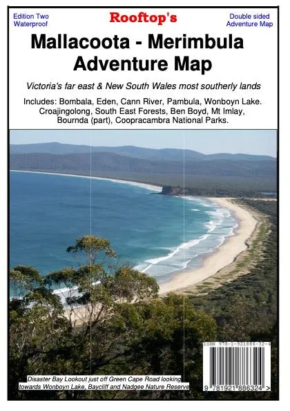
Mallacoota Merimbula Adventure Map
Discover the beauty of Victoria’s far east and New South Wales’ far south-east with the Mallacoota Merimbula Adventure Map. With a 1:100,000 scale, this map covers key locations including Bomballa, Eden, Cann River, Pambula, and Wonboyn Lake, as well as national parks like Ben Boyd, Croajingolong, South East Forests, Mt Imlay, Alfred, and Coopracambra.
The map’s reverse side offers extended coverage with additional detailed insets, such as the South East Forest National Park Proposed Public Access Map at a 1:200,000 scale, the Mallacoota Inlet Fishing and Boat Access Map at 1:40,000 with 25m contours, and a Gabo Island Map also at 1:40,000 scale. Whether you’re hiking, boating, or exploring by vehicle, this map is packed with essential details like walking tracks, vehicle tracks, navigation markers, estuaries, and places of interest.
Features
- Detailed walking and vehicle tracks
- Coverage of national parks and estuaries
- Includes navigation markers, boat ramps, and jetties
- Reverse side insets:
- South East Forest National Park Proposed Public Access Map (1:200,000 scale)
- Mallacoota Inlet Fishing and Boat Access Map (1:40,000 scale, 25m contours)
- Gabo Island Map (1:40,000 scale)
- Perfect for outdoor enthusiasts: hikers, boaters, and 4WD adventurers
Specifications
- Edition: 2nd
- Publication Date: 01/11/22
- Scale: 1:100,000
- Folded Size: 129mm x 210mm x 3mm
- Flat Size: 630mm x 900mm
- Weight: 0.074kgs


![Onyx Nylon General Purpose Life Jacket - Youth 50-90lbs - Red [103000-100-002-12]](https://www.jeanfitbelt.shop/image/onyx-nylon-general-purpose-life-jacket-youth-50-90lbs-red-103000-100-002-12_YaB78x_300x.webp "Onyx Nylon General Purpose Life Jacket - Youth 50-90lbs - Red [103000-100-002-12]")


